

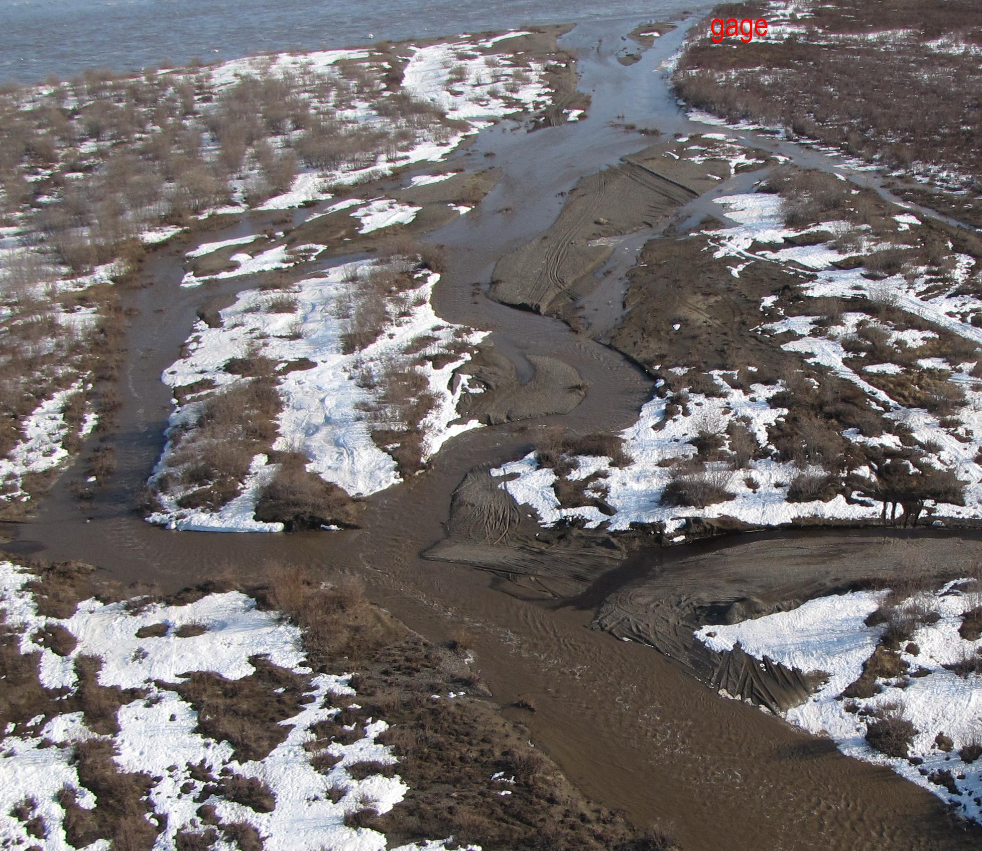
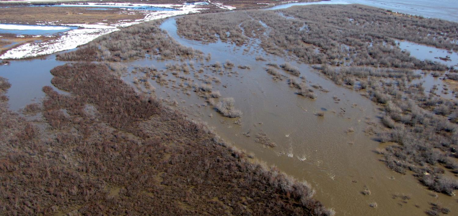
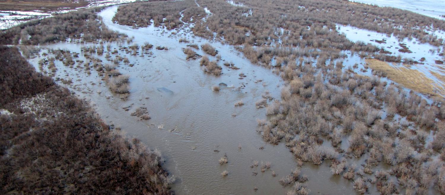
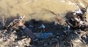
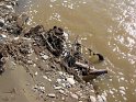
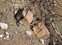
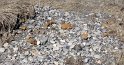
Colville River Begins flowing over landfill at 53.5 ft stage (75,000 cfs) (USGS Rating 3)
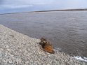
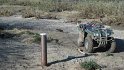
Significant flow into landfill begins at 56 ft stage (120,000 cfs)(55.75ft stage photo) (viewUS from road)
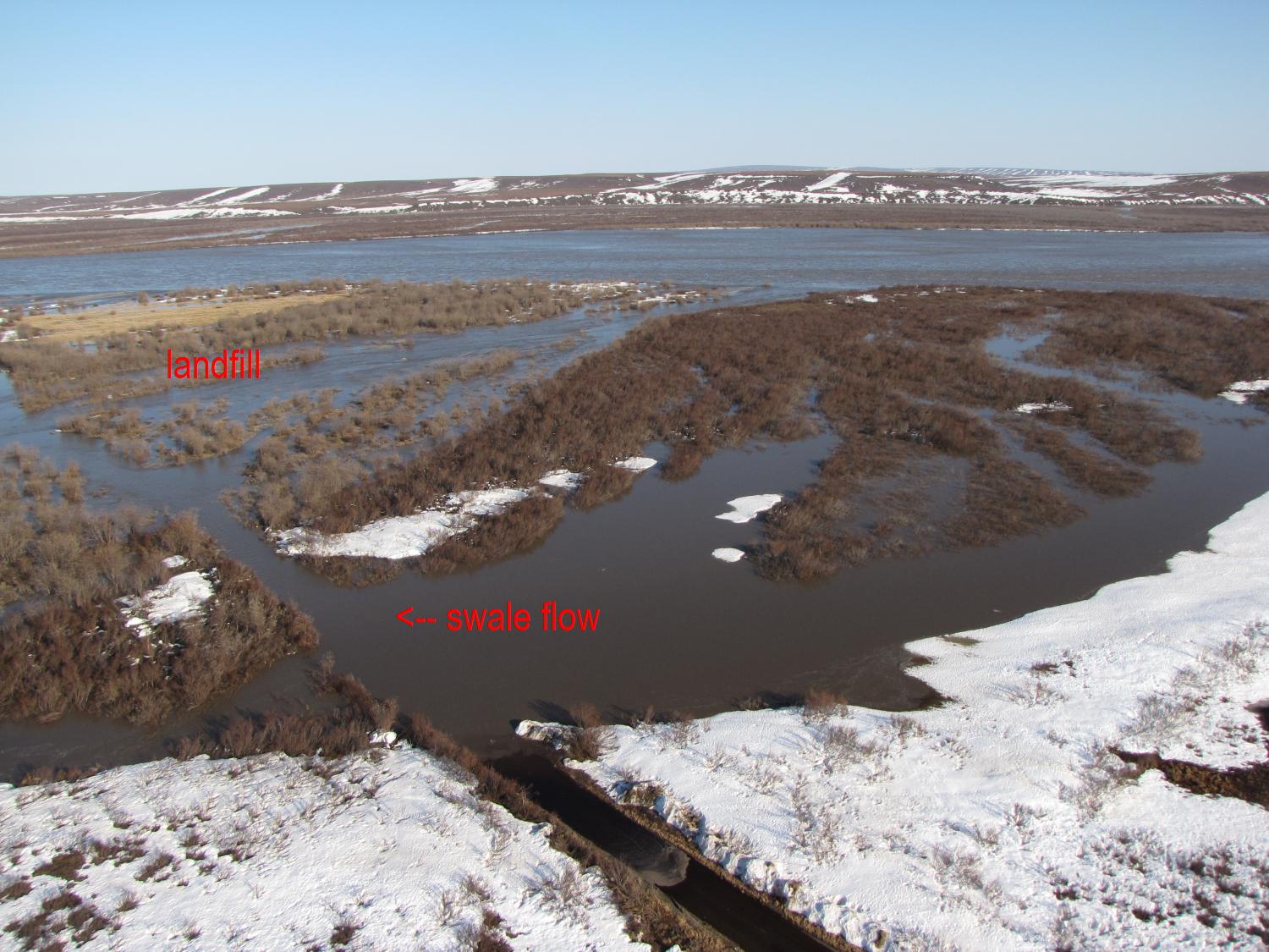
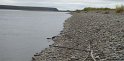
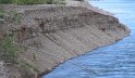
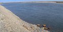
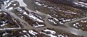
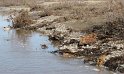
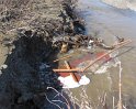
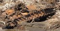
Swale flow photos (entrance - at road)
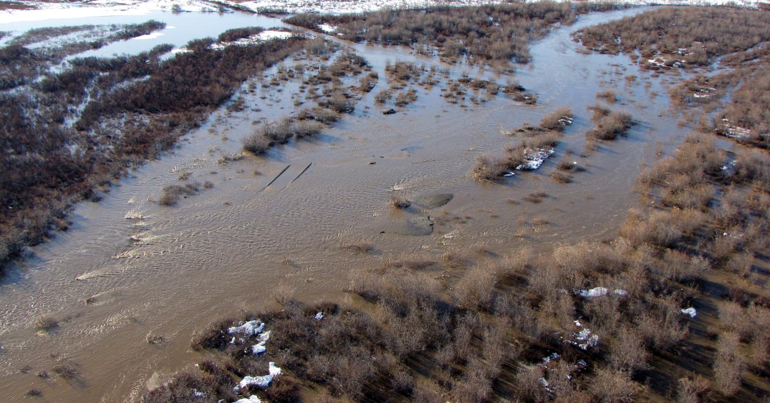
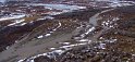
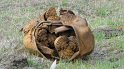
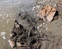
2011 Period of Flow over landfill: May 26 - June 3 (other peak flows)
Maximum water depth approx. 5 ft over landfill with velocities up to 7 -8 fps in channel
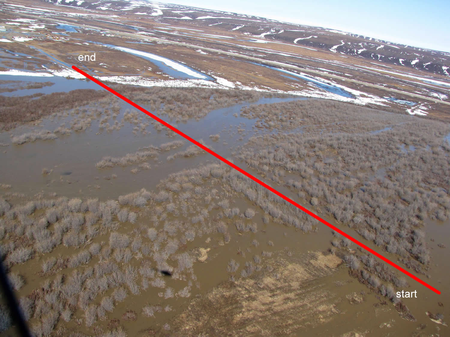
see velocity plot along road to river (pdf) (route) (notes)
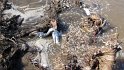
2011 aerial photos (5/28) (5/30A) (5/30B)
 |
 |
 |
 |
 |
|
 |
 |
|
 |
 |
 |
 |
 |
|
 |
|
 |
 |
 |
 |
 |
 |
 |